
North West Tasmania - Rivers, Falls and Dams
click on image for larger view

Lake Barrington (Forth River)

Forth River

Guide Falls

Dip Falls

Dip Falls
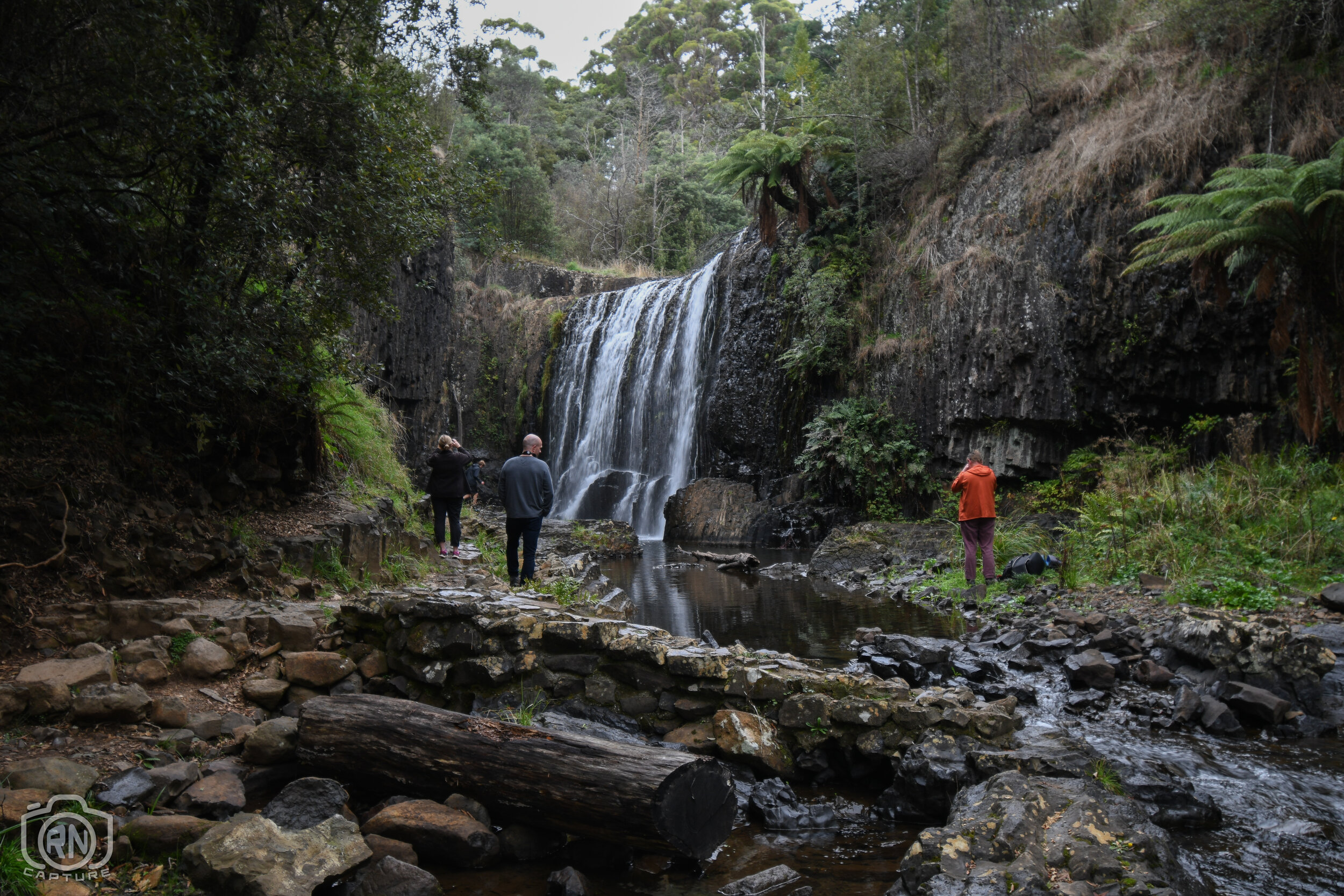
Guide Falls - Ridgely

Forth River mouth - Leith/Turners Beach


Preston Falls

Devils Gate Dam spilling - August 2021

Devils Gate Dam spilling - August 2021

Devils Gate Dam spilling full width - October 2022

Devils Gate Dam spilling full width - October 2022

McGowans Falls - West Takone - Kirsten French

Lake Barrington at Devis Gate Dam
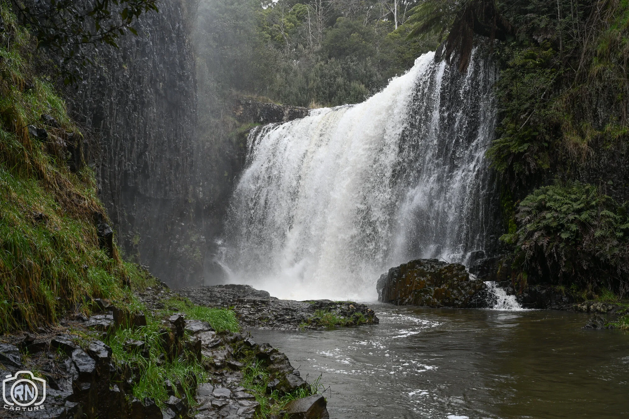
Guide Falls - August 2021

Guide Falls - August 2021
Guide Falls - August 2021

Below Guide Falls - August 2021

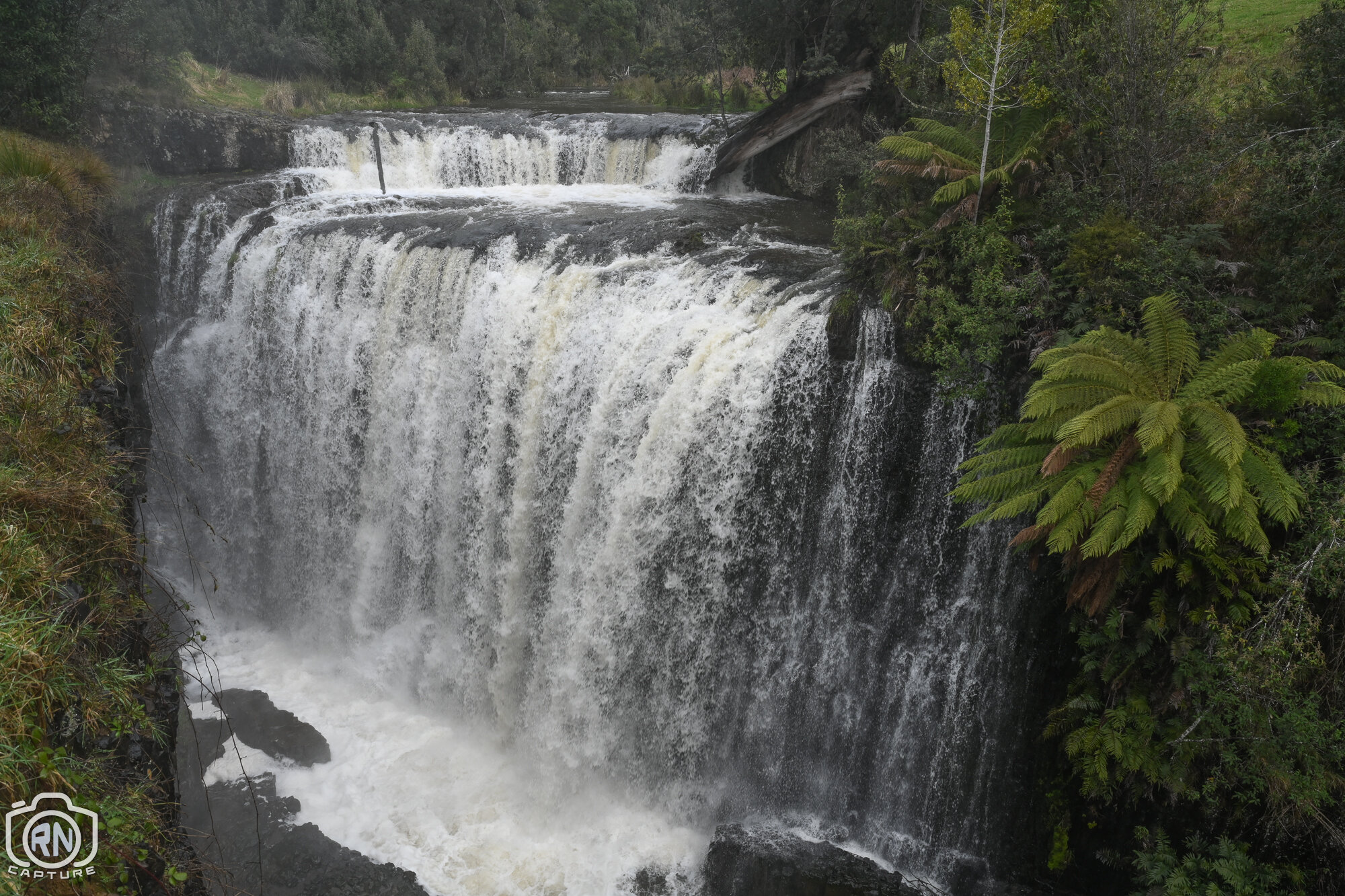
Forth Falls - July 2021

Waratah Falls - May 2022

Devils Gate Dam in spill
The Devil’s Gate Dam was constructed in 1969 and forms part of Lake Barrington. The dam is part of the Mersey–Forth scheme that comprises eight hydroelectric power stations, the Devils Gate Power Station is the sixth station in the scheme and was commissioned in 1971, with a generating capacity of 63 megawatts.The dam wall is 84 metres (276 ft) high. It is one of the thinnest concrete arch dams in the world.